
Tag: drone
-
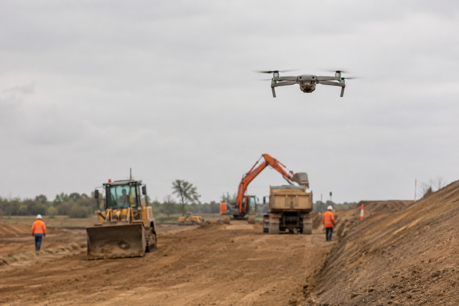
A site engineer arrives at a 40-hectare infrastructure project on a Monday morning and needs a topographic survey completed before the concrete pour can be scheduled. A decade ago, this meant a survey crew working for two to three days with total stations and GPS rovers. Today, that same engineer can launch a drone, capture…
-

A site engineer standing at the edge of a 12-hectare earthworks platform in Lekki once needed three days and a four-man survey crew to produce a single topographic update. Today that same dataset comes back within hours, captured by a quadcopter flown by one technician on a tablet. Understanding how drones work on a construction…
-

A drone passes over a construction site in under twenty minutes and delivers a georeferenced point cloud that would have taken a survey crew two days to produce on the ground. That efficiency is real — but so is the invoice that follows. Project managers who adopt drone technology without understanding its full cost structure…